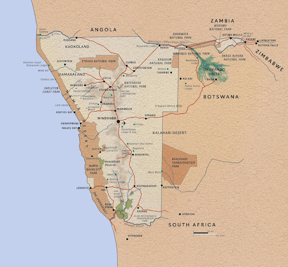
Here are the maps of Namibia as requested.
1. The next map is an overall view of the country.
2. Here is one of Etosha showing where Halali Camp is located. (Just south of the Pan itself, the white patch, about in the middle.)
3. Spencer Bay is just about 90 km north of Luderitz, and the site of the lost Submarine. Mercury Island can be seen in Spencer Bay. (Were the Rothmans were to be taken.)
Here are some more maps to orientate yourself to where in the world is Namibia.
AFRICA
NAMIBIA
Swakopmund (Swakop.)
Windhoek
Remember: You can left-click on the map to enlarge it.


No comments:
Post a Comment